Code: 4WKALLAW Duration: 3 days days
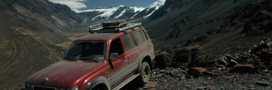
Apolobamba mountain range is located in the northern extreme of the Bolivian highlands, to the north of Lake Titicaca, and makes border with Peru. Composed by awesome massifs, endless plains and deep microclimatic valleys, this region is an exhilarating landscape.
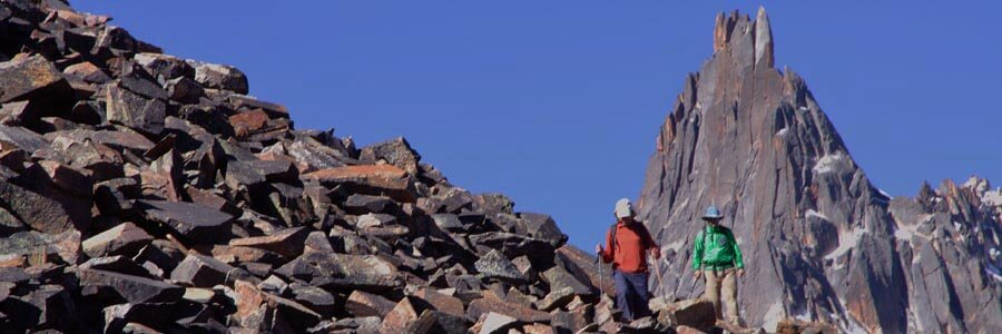
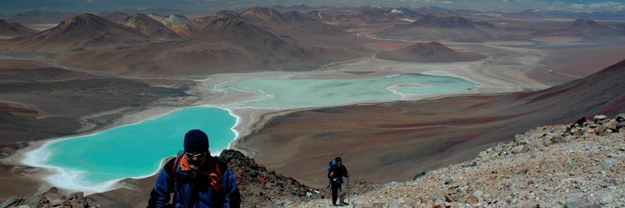
One of the most pristine and remote regions in Bolivia still to be explored, Apolobamba is a microcosm of the Andes mountains; summits cloaked in perpetual snows, long sweeping glaciers, enormous granite peaks, multi colored lakes, mountain valleys boasting deep gorges and high altitude woodlands, old gold mines, an immense variety of birds and plants and the mystical atmosphere of the Andes, all of which combines to make this region practically unforgettable.
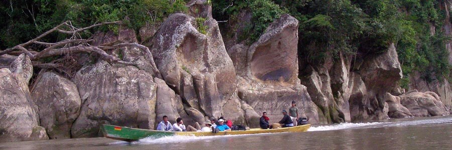
Apolobamba National Park, Ulla Ulla Vicuña Reserve and Madidi National Park have been engulfed into one huge protected area which covers all of the ecological steps in the Andes and the Amazon: from the high glaciated mountains down into the very Amazon rain forest.
These lands have hosted several cultures through the centuries. Some like the best-known Kallawayas, the itinerant Shaman healers of the Andes, still survive in the lower mountain valleys. Traveling to this area is like traveling to the past ... where time and space have different measures.
In this program we drive from La Paz towards to the mountains of Apolobamba contouring the northern shores of Lake Titicaca. First we visit the area between the towns of Charazani and Curva; the capital of the Kallawayas in the southern extreme of the mountain range. On the second day we continue driving towards the northern end of Apolobamba where we will visit the Ulla Ulla plains and the town of Pelechuco.
Short Itinerary
Day 1. Transport to Charazani. Basic hostel.
Day 2. Transport to Curva and Pelechuco. Basic hostel.
Day 3. Transport to La Paz.
Highlights
- Apolobamba range; Ulla Ulla plains, mountains landscape, mystic foggy valleys.
- Cultural travel through time visiting the land of the famous Andean witch doctors; the Kallawayas.
- Curva & Charazani Kallawaya towns.
- 700km total distance covered.
Services Included
- Meals mentioned in the itinerary.
- Full land transportation during the trip.
- Basic hostel accommodation as mentioned in the itinerary
- Bilingual guide during the trip.
- Luggage transportation in the vehicle (20 kg/44 lb per person max weight).
- National Park entrance fees.
Services Not Included
- International & local flight tickets & fees.
- Transfers IN/OUT to airports.
- Meals & accommodation while in La Paz and other main cities.
- Insurance of any kind.
- Any expense due to a rescue operation (rescuers fee, transportation, or medical cost).
Day to day details
We can think that spending almost all day long in a vehicle can be really boring but driving towards Apolobamba mountain range does not feel this way.
The road follows the eastern shores of Lake Titicaca and afterwards gets into the rolling hills of Muñecas mountain range. After enjoin the great views of Apolobamba mountain range from the road pass, we will drop down to Charazani; the Kallawayas capital. There we will stay in a basic hostel, and – if we find the key keeper - we may take a relaxing bath at the hot springs close to the town (locals charge a small fee for the use of the hotsprings).
Overnight: Basic hostel
La Paz: 3,650m (11,972ft)
Charazani: 3,260m (10,693ft)
Driving: 7-8 Hrs (251km)
Walking: 1 Hr (1.5 km)
L,D
After breakfast we will first drive to Curva, a charming town hanging on top of a crest with splendid views of the cultivated valley below, then drive up towards the high plateau of Ulla Ulla.
The road towards highlands traverses steep valleys with the best views of the mountains of Apolobamba; Akamani, the holiest mountain of the Kallawayas projecting from the rest.
At Ulla Ulla plains we will certainly spot herds of Vicuñas. After traversing Katantica pass; the highest road pass of the trip, we will descend a steep zigzag road towards Pelechuco. Just before arriving to the town, we will leave the car and walk a short distance to visit the ruins of an old Inca settlement where the original town of Pelechuco was founded; at this agricultural center you can see the flat-stone-tombs and the houses nicely merged within the complex of terraced ledges. As it used to be the custom the housing area was always located mid-distance between the lower crops (i.e. sweet potato and barley) and the higher crops at colder or windier places (i.e potato and maybe Quinua: the Andean grain).
Pelechuco town experienced an economic boom in the time of the Spanish occupation, and its streets and houses remind us of the old castle hamlets in Spain. These days no Spanish remain, only an indigenous population, which has adopted Spanish names. As we drive by the main street, we feel time transported into the middle ages. The hotel has nothing to do with last night’s four-star but is as charming as the town.
Overnight: Basic hostel
Katantica pass: 4,860 m (15,940 ft)
Pelechuco: 3,600 m (11,808 ft)
Driving: 6-7 Hrs (120km)
B,L,D
After breakfast, we will drive back up to Katantica pass and then traverse again Ulla Ulla plains and the northern shores of Lake Titicaca. At the end of the day we will arrive in La Paz.
Overnight: None
Katantica pass: 4,860 m (15,940 ft)
El Alto 4,100m (13,450ft)
La Paz: 3,650 m (11,972 ft)
Driving: 8-9 Hrs (330km)
B,L


